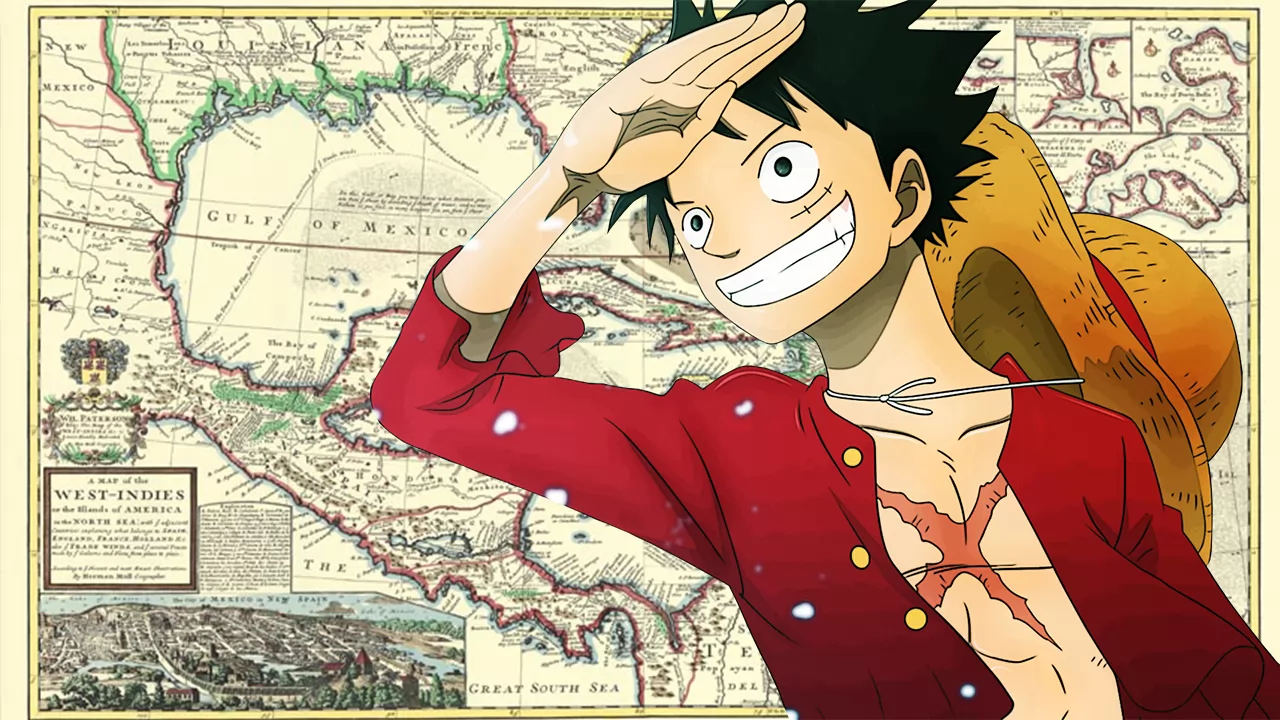
Luffy’s journey allowed the little pirate from the village of Foosha to immeasurably broaden his horizons. On board the Going Merry first and the Thousand Sunny then he explored the world of ONE PIECE but, although he is getting closer and closer to the end of his journey, many secrets still remain to be revealed.
The geography of ONE PIECE reveals a world very different from the real one, which Eiichiro Oda, however, took as a reference for some islands. But how ONE PIECE would be set in the Caribbean? Suppose we go back in time, to the time when the powers of the sixteenth century divided the archipelago and the adjacent coasts and had to face pirates and corsairs that raged through those places.
Fan Jesse Martin prepared an illustration that transposes the islands seen during Luffy’s journey into ONE PIECE instead of the Caribbean islands. In the image posted on Reddit that you can see below there is the starting village on the South American coasts, it continues with the whole arc of the West Indian islands passing through Barbados, Antigua, St. Nevis and Kitty and many others. Obviously we also arrive near Alabasta, or rather the island of Hispaniola, while the Red Line is superimposed on Cuba.
The journey also continues with Jamaica, without then missing other locations located along the Mexican and Florida coasts. You’d like it if the world of ONE PIECE had followed such an itinerary?
